

Industry
Infrared/Satellite imagery analytics
Providing the infrared analytics industry with high quality data to capture wide-angle viewing area from a distant height .
Use cases
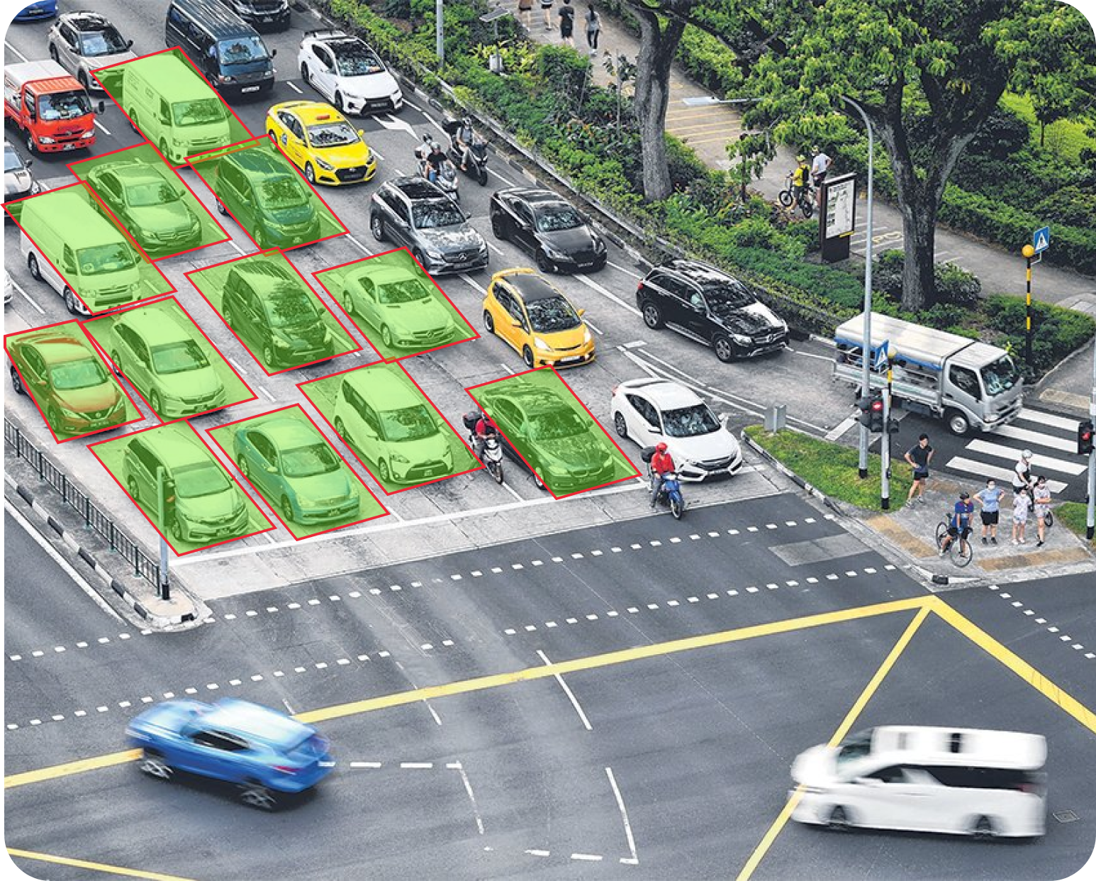
Aerial Imagery
In order to enhance your aerial AI project / train such models, a huge and high quality training data set is required, which Rectvision is able to provide for your model consumption. Data set like cars in the parking zone when annotated on our platform can be used as training data to develop an AI-based algorithm to accurately detect and count cars on satellite imagery at parking lots across the globe.
